


Aerial photo maps are clear images just like typical photos that provide landscape views and other things for the benefit of specific industries. There are many uses of aerial mapping. What separates them from other types of maps is that they offer a unique view represented in picture form and not drawn by cartographers.
Benefits of Aerial Mapping
This kind of mapping provides many benefits. First, it’s easy and quick to produce the images. Cartographers worked for very long periods to produce their images. The aerial maps can be instantaneous. Additionally, photographic nature makes it clearer and provides details that weren’t available previously in maps of other forms.
There are some nuances and different gradations that can only be viewed by something like a photo. The benefit provided by this is so big. A country’s future may depend heavily on the hands of reconnaissance officials and spy agencies who, in turn, rely on aerial maps to offer the survey materials and spy agencies about any enemy region. These pictures offer great clarity and many of them can be produced from far distances and that offers significant benefits.
Other Benefits of Having Images In Aerial View
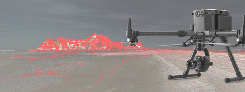
Specific services also provide for aerial photo images to be created within the shortest time. The sophisticated nature of the technology utilized in producing the illustrations together with the fact that they are very quick and advanced make it attractive for people who want to utilize this service. As time goes by, the machinery and the expertise are becoming more and more superior and extremely developed. So, the results progress and turn out perfect.
Moreover, there are very benefits to having photographs available in real-time. Much aerial imaging offers these services. Real-time implies that the images that are created and subsequently viewed are the exact images that are happening at that particular moment. A few companies provide aerial views that were created previously.
These have their benefits because some permanent structures and buildings don’t change within some weeks. However, the instantaneous views or what’s going on currently are even more advantageous for specific purposes. As the imaging tools and instruments become more advanced, the photographic aerial view keeps becoming more exact and precise.
That comes very near to determine even the accurate height of buildings. Aerial photo mas can be used by people who work in specific professionals who require understanding the topography of an area or see how completely developed it is. There are very many uses of this type of technology and as it becomes more popular, there will even be further used for aerial photographic images and maps.
Final Thought – Accessing The Service
There are so many benefits and uses of aerial photographic images and photos. You also may need to for one reason or another, access aerial images. In that case, you can hire professionals that can produce them for you. It’s easy to access the service wherever you’re.
With the power of the internet today, finding the right professionals to help you in producing these images and photographs is easy. Seeing aerial maps view of your community is one of the most interesting things. It can teach you a lot about your neighborhood and what you have around you. Therefore, we encourage everyone who hasn’t done so to have a look at their community through an aerial view. You might be surprised by what you find.
You may also be holding an event like a wedding or something and want to access some beautiful aerial view of the venue and the event itself. When you get the right professionals, they will help you access the images you want at a reasonable price. The technology has really advanced and all the tools are available to help you get the aerial mapping services you need.